Rome neighborhoods overview: how the city fits together
Rome: City Highlights Golf Cart Tour with Local Guide
How are Rome's neighborhoods organized?
Rome is organized around its seven classical hills (Capitoline, Palatine, Aventine, Esquiline, Viminal, Quirinal, Caelian) and the historic rioni (city quarters) that developed in the medieval city. The modern tourist neighborhoods — Centro Storico, Trastevere, Monti, Testaccio, Prati, Aventino — are broadly the same areas under modern names. The Tiber river divides 'city Rome' (east bank) from 'Vatican Rome' (west bank, Prati and Vatican districts). Understanding this basic geography makes itinerary planning substantially easier.
Why Rome’s geography is worth understanding before you arrive
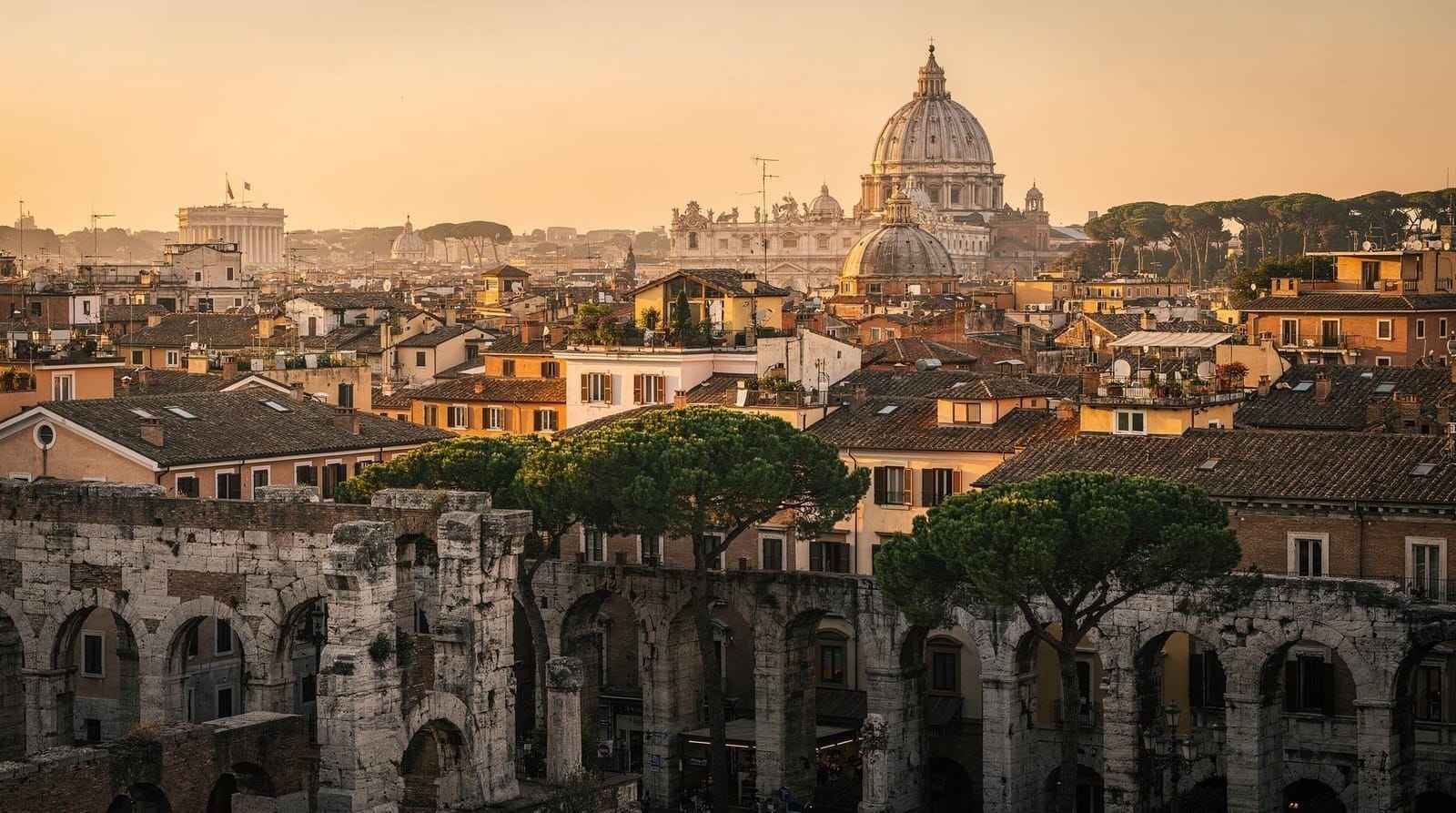
Most visitors to Rome approach it as a list of monuments rather than a city. They move from the Colosseum to the Vatican to the Trevi Fountain as if connecting dots on an abstract map, without understanding why the city is arranged as it is or how the neighborhoods they are passing through relate to each other.
This matters practically. Rome is not efficiently toured in random order. The Colosseum and the Vatican are 4 kilometers apart — walking between them without understanding the city in between means either an inefficient route or missing the neighborhoods along the way. More fundamentally, understanding Rome’s geography helps you understand Rome’s history — the city’s physical shape reflects 2,600 years of urban decisions.
This guide builds the mental map that makes everything else easier.
| Divide | Tiber River — east bank “city Rome”, west bank Vatican/Trastevere |
| Historic units | 22 rioni (medieval quarters), still used as neighborhood names |
| Ancient units | 7 hills — Capitoline, Palatine, Aventine, Esquiline, Viminal, Quirinal, Caelian |
| Best first-visit bases | Monti or Centro Storico (central, walkable) |
| Cross-river walk | Campo de’ Fiori to Trastevere via Ponte Sisto: around 15 minutes |
The fundamental division: the Tiber
The Tiber River (Tevere) runs roughly north-south through Rome and defines the city’s primary geographic division. East bank is “city Rome”; west bank is “Vatican Rome” with Trastevere.
East bank (the city proper):
- Ancient Rome: Colosseum, Forum, Palatine, Circus Maximus, Capitoline Hill
- Medieval and Renaissance center: Monti, Centro Storico (Pantheon, Navona, Campo de’ Fiori, Trevi), Esquilino, Celio
- Modern residential: Pigneto, Garbatella (further out), Ostiense
- The Seven Hills are all on the east bank
West bank (Trastevere, Vatican, Prati):
- Trastevere: oldest continuously inhabited neighborhood, across the river from Campo de’ Fiori
- Vatican City: technically an independent state (110 acres, 800 residents)
- Prati: the residential and commercial neighborhood immediately north of Vatican
- Borgo: the medieval quarter between Castel Sant’Angelo and St. Peter’s Square
The river is crossed by approximately 20 bridges within the city. The most significant for visitors:
- Ponte Sant’Angelo (near Castel Sant’Angelo): most scenic crossing, marble angel statues by Bernini studio
- Ponte Sisto: walking bridge from Campo de’ Fiori to Trastevere
- Ponte Garibaldi: connects Centro Storico to Trastevere
- Ponte Vittorio Emanuele II: main road crossing between Vatican and Centro Storico
The historic rioni: Rome’s neighborhood identity system
Rome’s historic center is divided into 22 rioni, the neighborhood units established in 1744 (based on earlier medieval divisions) and still used informally as neighborhood identifiers. Each has a name, a coat of arms, and a persistent identity.
The rioni most relevant for visitors, with their modern neighborhood equivalents:
Monti (Rione I): Rome’s oldest rione, occupying the Esquiline, Quirinal, and Viminal hills east of the Imperial Fora. The modern neighborhood of Monti largely corresponds to the western portion of this rione — the streets of via Cavour, via del Boschetto, and around Piazza della Madonna dei Monti. One of Rome’s best neighborhoods for evening walking.
Trevi (Rione II): The area around the Trevi Fountain and the Quirinal Hill. This rione contains the fountain, the Palazzo del Quirinale (official presidential residence), and the northern section of the historic center. More residential and less touristy than the Pantheon area despite containing one of Rome’s most visited sights.
Colonna (Rione III): Centered on Piazza Colonna (with the Column of Marcus Aurelius) and Montecitorio (the Italian Chamber of Deputies). This is institutional Rome — ministries, the parliament building, serious café culture.
Campo Marzio (Rione IV): The ancient Field of Mars — once the military training ground outside the original city walls, now the area containing the Spanish Steps, Piazza del Popolo, the Ara Pacis, and the Mausoleum of Augustus.
Ponte (Rione V): The area around Ponte Sant’Angelo and the Lungotevere. The Via dei Coronari, one of Rome’s most pleasant antiquarian shopping streets, runs through this rione.
Parione (Rione VI): Piazza Navona, the Palazzo della Cancelleria, and the streets immediately north and west of the Campo de’ Fiori. This is the heart of tourist Centro Storico.
Regola (Rione VII): Campo de’ Fiori and the streets between it and the Tiber. The Jewish Ghetto is at the edge of this rione.
Sant’Eustachio (Rione VIII): The Pantheon and its surrounding streets. Home to Sant’Eustachio il Caffè (long claimed to be Rome’s best espresso), the Collegio Romano, and the Piazza della Rotonda.
Pigna (Rione IX): The area east of the Pantheon, toward Largo Argentina. Largo Argentina — the sacred area containing four Republican-era temples and Julius Caesar’s assassination site — is in this rione.
Campitelli (Rione X): The Capitoline Hill, the Theatre of Marcellus, the Portico of Octavia (Jewish Ghetto), and the area between the Forum and the Tiber.
Sant’Angelo (Rione XI): The Jewish Ghetto itself and the immediate surroundings. One of Rome’s most historically layered neighborhoods — the ghetto walls are gone but the memory architecture remains, with the Great Synagogue and the Jewish Museum on the Tiber bank.
Ripa (Rione XII): The area along the Tiber south of Trastevere, including the Testaccio hill and the Aventino’s lower slopes.
Trastevere (Rione XIII): The entire Trastevere neighborhood on the west bank — one of the few rioni whose name is identical to its modern neighborhood name.
Borgo (Rione XIV): The neighborhood between Castel Sant’Angelo and Vatican City, historically known as the “Leonine City” after the wall built by Pope Leo IV in 847 CE. This is where medieval pilgrims stayed near St. Peter’s and where the Passetto di Borgo (the elevated corridor connecting the Vatican to Castel Sant’Angelo) runs along the rooftops.
The seven hills: ancient topography as modern orientation
Understanding the seven hills is not merely historical curiosity — the hills are visible and physically present, and understanding where they are helps you navigate the city.
Capitoline Hill (Campidoglio): The smallest but most politically significant — the civic and religious heart of ancient Rome. Today: Capitoline Museums, Piazza del Campidoglio (Michelangelo’s design), and the terrace overlooking the Roman Forum. A free viewpoint of the Forum is available from the terrace without entering the museums.
Palatine Hill (Palatino): Inside the Colosseum/Forum/Palatine combined ticket area. The hill where Rome’s emperors built their palaces — the word “palace” derives from Palatine. The Farnese Gardens on the hill offer the best elevated view of the Forum. Fully covered in the Colosseum and Forum guide.
Aventine Hill (Aventino): The southernmost and most peaceful of the hills. Today: the Knights of Malta keyhole, the Orange Garden, Santa Sabina basilica, Rose Garden. Almost no tourist crowds relative to its remarkable free sights. Full detail in the Aventino neighborhood guide.
Esquiline Hill (Esquilino): The largest of the seven hills, today the Esquilino neighborhood around Piazza Vittorio Emanuele II, Santa Maria Maggiore basilica, and the Termini station area. See the Esquilino neighborhood guide.
Viminal Hill (Viminale): The smallest of the hills, now occupied by the Ministry of the Interior. Less visible as a distinct hill and less relevant for most tourists. The immediate area is institutional government buildings.
Quirinal Hill (Quirinale): The highest of the seven hills, topped by the Palazzo del Quirinale (presidential palace, open for guided visits on Sundays). The hill also contains the Trevi Fountain (technically at its base) and the Fontana delle Api.
Caelian Hill (Celio): Immediately south of the Colosseum, the Celio hill contains some of Rome’s most extraordinary layered archaeology: the Basilica of San Clemente (three layers of building from pagan temple to early Christian church to medieval basilica, each accessible), the church of Santi Quattro Coronati (with a remarkable 13th-century fresco cycle), and Villa Celimontana (public gardens).
A 3-hour e-bike tour of Rome’s Seven Hills covers the topographic logic of the ancient city — the best single way to internalize the city’s geography and understand how the hills relate to each other and to the major monuments.The main neighborhoods in brief
Centro Storico (Historic Center): The dense medieval and Renaissance city between Piazza Navona, the Pantheon, Campo de’ Fiori, and the Tiber. Most tourist Rome is here. See the Centro Storico guide.
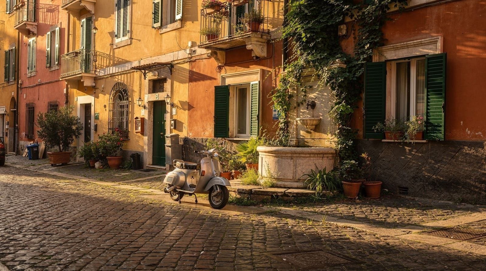
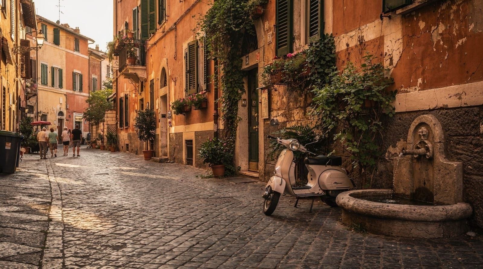
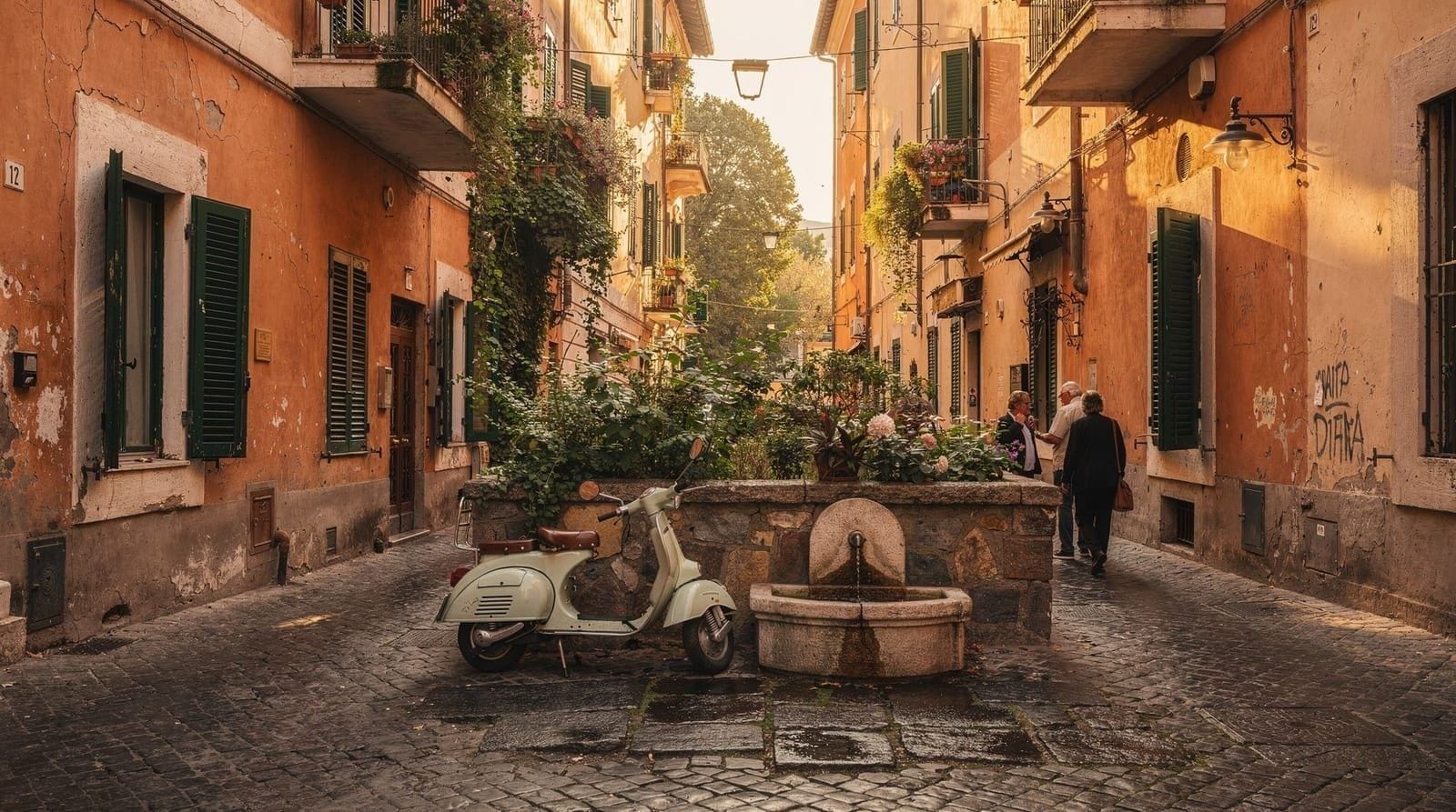
Trastevere: Across the Tiber from Campo de’ Fiori, cobbled and atmospheric. Best at dusk for dinner and aperitivo. Noise is real on weekends. See the Trastevere neighborhood guide.
Monti: Behind the Imperial Fora, adjacent to the Colosseum. Rome’s most fashionable residential neighborhood, excellent for walking and eating. See the Monti neighborhood guide.
Testaccio: South of Monti and Circo Massimo, historically working-class, now Rome’s best food neighborhood. The Testaccio Market and the trattorias on its periphery are some of Rome’s most honest eating. See the Testaccio neighborhood guide.
Aventino: The peaceful residential hill above Testaccio. The keyhole, Orange Garden, and Santa Sabina are here. See the Aventino neighborhood guide.
Prati: The elegant neighborhood north and west of Castel Sant’Angelo. Wide streets, good restaurants, excellent for families. Often overlooked but consistently satisfying. See the Prati neighborhood guide.
Esquilino-Termini: The multicultural neighborhood around Termini station and Piazza Vittorio. Affordable, practical, connected. Santa Maria Maggiore is here. See the Esquilino neighborhood guide.
Celio and the Colosseum district: The neighborhood immediately around the Colosseum, with San Clemente and other layered archaeological churches. See the Celio and Colosseum district destination page.
The areas beyond the rioni: further neighborhoods
Pigneto: East of the historic center, past Porta Maggiore. Rome’s creative and alternative neighborhood — street art, bars, independent cinemas, lower rents. Not a tourist destination but interesting as an evening option for travelers staying in the east of the city.
Garbatella: South of Testaccio, a 1920s planned garden-city neighborhood with distinctive architecture. Often described as “real Rome” by people who have discovered it. Worth a visit if you have more than 5 days.
Ostiense: Industrial-turned-artistic, south of Testaccio. The Centrale Montemartini (Capitoline Museums branch, displaying Roman sculpture in a converted power station) is one of Rome’s most unusual museum experiences.
EUR: Mussolini’s planned satellite city, 8 km south of the center. The architecture is rationalist and imposing — the Palazzo dei Congressi, the Palazzo della Civiltà Italiana (“Square Colosseum”), and the Museo della Civiltà Romana. Worth a half-day for travelers interested in 20th-century Italian history and architecture. See the EUR destination page.
Parioli: North of the Borghese Gallery, Rome’s wealthy residential area. Not a tourist neighborhood but has some of Rome’s better restaurants serving local clientele rather than visitors.
Noise, safety and practical neighborhood notes
Neighborhood choice also affects how well you sleep and how comfortable you feel walking at night, which guidebooks rarely spell out.
Trastevere is genuinely loud on Friday and Saturday nights — cobbled streets amplify voices, and the neighborhood empties out slowly after 1am. Book a room on an inner courtyard or a side street off the main squares if you’re a light sleeper, and check reviews specifically for noise before booking anything facing Piazza Trilussa or Piazza Santa Maria.
Centro Storico near Campo de’ Fiori has a similar late-night bar scene; a block or two further toward the Pantheon is noticeably quieter.
Monti, Prati and Testaccio are calmer at night by comparison — residential enough that streets empty out at a normal hour, while still being a short walk from restaurants and bars.
Safety-wise, central Rome is walkable at night in all these areas; standard city precautions (watch belongings on the metro and around Termini, avoid poorly lit stretches of the Aventino and the riverside Lungotevere path late at night) apply everywhere rather than to one specific neighborhood.
How neighborhoods relate to itinerary planning
The practical application of Rome’s geography for itinerary purposes:
Geographic day-planning: Group sights by neighborhood to minimize commuting time. An ancient Rome day — Colosseum, Forum, Palatine, Capitoline Hill, Circus Maximus — is entirely walkable within a single area. A Vatican day — Vatican Museums, St. Peter’s, Castel Sant’Angelo — is similarly compact. Mixing these on the same day without good transport planning means losing 45–60 minutes to transit.
Neighborhood dinner strategy: After a Colosseum/Forum day, dinner in Monti or Testaccio (10–15 minutes). After a Vatican day, dinner in Prati. After a Centro Storico day, dinner in Trastevere (15 minutes on foot over Ponte Sisto) or Campo de’ Fiori area.
Rest-point neighborhoods: Aventino and Prati are good “recovery” options in a dense itinerary — places with interesting walking without monument fatigue. A late morning in the Orange Garden or a riverside walk along Lungotevere Prati provides urban decompression.
A golf cart city highlights tour with a local guide is one of the most efficient orientation tools for a first visit — 2 hours of commentary-guided coverage of the major landmarks with a genuine Roman perspective, giving you the geographic framework to plan the rest of your trip independently.The areas outside central Rome: day-trip geography
Rome is also the base for one of Italy’s best day-trip networks. The city sits within reach of:
Lazio coast: Ostia Antica (45 minutes by metro+train), Sperlonga (1.5 hours by regional train). See Ostia Antica and Sperlonga.
Castelli Romani: The volcanic hills southeast of Rome — Frascati, Castel Gandolfo, the papal summer palace. 30–40 minutes by regional train from Termini. See Castelli Romani and Castel Gandolfo.
Tivoli: 30 km east, 30 minutes by regional train. Villa d’Este (UNESCO) and Villa Adriana (Hadrian’s Villa, UNESCO). See Tivoli and the Tivoli day trip guide.
Umbria: Orvieto (1 hour 15 minutes by train), Assisi (2.5 hours). Both day-trippable but long days. See Orvieto and Assisi.
Campania: Pompeii (2.5 hours by high-speed train to Naples, then local train). Naples (1 hour 10 minutes). Ambitious but feasible as a day trip. See Pompeii and Naples.
For a full overview of day-trip options, see best day trips from Rome.
Planning your route through Rome’s neighborhoods
For a first visit of 3–4 days, the practical neighborhood sequence:
Day 1: Arrive, Orient, Centro Storico evening. Walk Pantheon → Campo de’ Fiori → Largo Argentina (evening is ideal — fewer people, lower light, café culture).
Day 2: Ancient Rome — Monti, Celio, Capitoline. Full morning at the Colosseum complex, afternoon Capitoline Hill view, evening dinner in Testaccio or Monti.
Day 3: Vatican and Prati. Vatican Museums morning, St. Peter’s early afternoon, Castel Sant’Angelo walk, Prati for dinner.
Day 4: Slow day — Aventino keyhole and Orange Garden, lunch Testaccio, afternoon Trastevere for a final walk.
This sequence minimizes transit time, concentrates ancient Rome in one day and Vatican in another, and ends with the two neighborhoods (Aventino, Trastevere) most likely to produce the “why am I leaving” feeling.
For longer visit planning, see the Rome itinerary planning guide and the full how many days in Rome guide.
The hop-on hop-off bus with audioguide crosses all the major neighborhoods in a single circuit — on day one, riding the full loop without getting off gives a geographic overview that maps make abstract and walking makes too slow.Which neighborhood suits which traveller
Neighborhood choice is not one-size-fits-all — it depends on trip length, mobility, and what kind of evenings you want.
| Traveller type | Best base | Why |
|---|---|---|
| First-timer, 3 days | Monti or Centro Storico | Central, walkable to everything, no transit dependency |
| Couples / honeymoon | Trastevere or Monti | Atmosphere and evening dining over pure convenience |
| Families with kids | Prati | Wide streets, quieter, close to Vatican, good kid-friendly activities nearby |
| Food-focused trip | Testaccio | Rome’s most honest eating; see the where to eat in Rome guide |
| Reduced-mobility travellers | Prati or Centro Storico | Flatter terrain than Trastevere’s cobbles or Aventino’s hill — full detail in the accessible Rome guide |
| Second-time visitors | Testaccio, Aventino, Trastevere | Away from the first-timer’s Colosseum-Vatican axis; see the second visit plan |
| Budget-conscious | Esquilino-Termini | Most affordable lodging with good transit connections |
For a deeper look at how neighborhood choice interacts with hotel pricing and transit, see best areas to stay in Rome and getting around Rome.
Frequently asked questions about Rome neighborhoods overview: how the city fits together
What is a rione in Rome?
Which side of the Tiber are the major sights on?
How long does it take to walk between Rome's main neighborhoods?
Which neighborhoods are most touristy in Rome?
Does Rome have a clear city center?
What are the seven hills of Rome and are any relevant for tourists?
Which neighborhood is best for a first Rome visit?
Top experiences
Bookable activities with verified prices and instant confirmation on GetYourGuide.